Products
Hardware we fly, build and survey with
From survey-grade drones and RTK GNSS receivers to our own custom 5-axis CNC machine — every product we run is chosen for one thing: reliable output in the field.
 01
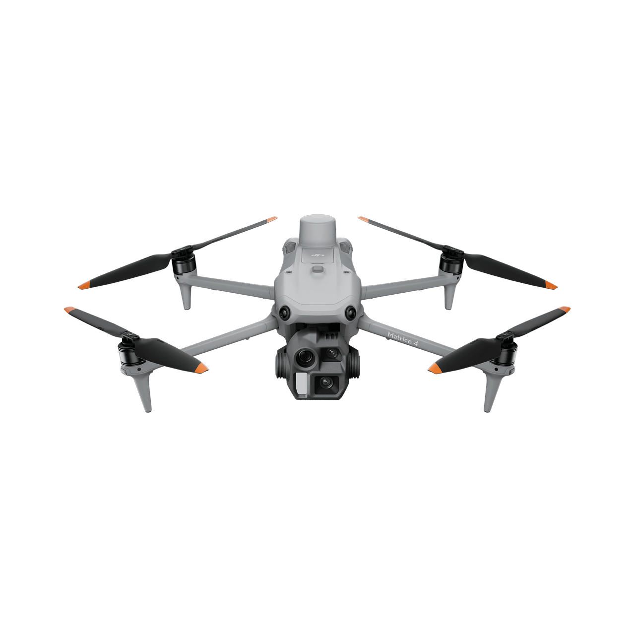
DJI Matrice 4E
Compact enterprise survey drone with a 4/3 CMOS mechanical-shutter camera
The DJI Matrice 4E is our workhorse survey platform: a compact, intelligent enterprise drone built for geospatial work. Its 4/3 CMOS 20 MP wide camera with mechanical shutter captures sharp, blur-free frames while the 48 MP medium-tele and tele cameras plus laser rangefinder cover inspection and detail work. Smart 3D Capture generates rough models and precise mapping routes on the controller, so crews can plan, fly and verify a site without leaving the field. We fly the Matrice 4E for corridor and area mapping, construction and mining volumes, infrastructure inspection and rapid response missions across Nepal — from Terai plains to high-altitude sites.
Core deliverables & outputs
- High-resolution RGB aerial imagery — 20 MP, 4/3 CMOS with mechanical shutter
- Georeferenced orthomosaics and orthophotos at 1–2 cm ground sampling distance
- Digital surface models and terrain models from photogrammetric processing
- 3D point clouds and oblique models built with Smart 3D Capture
- + 4 more
 02
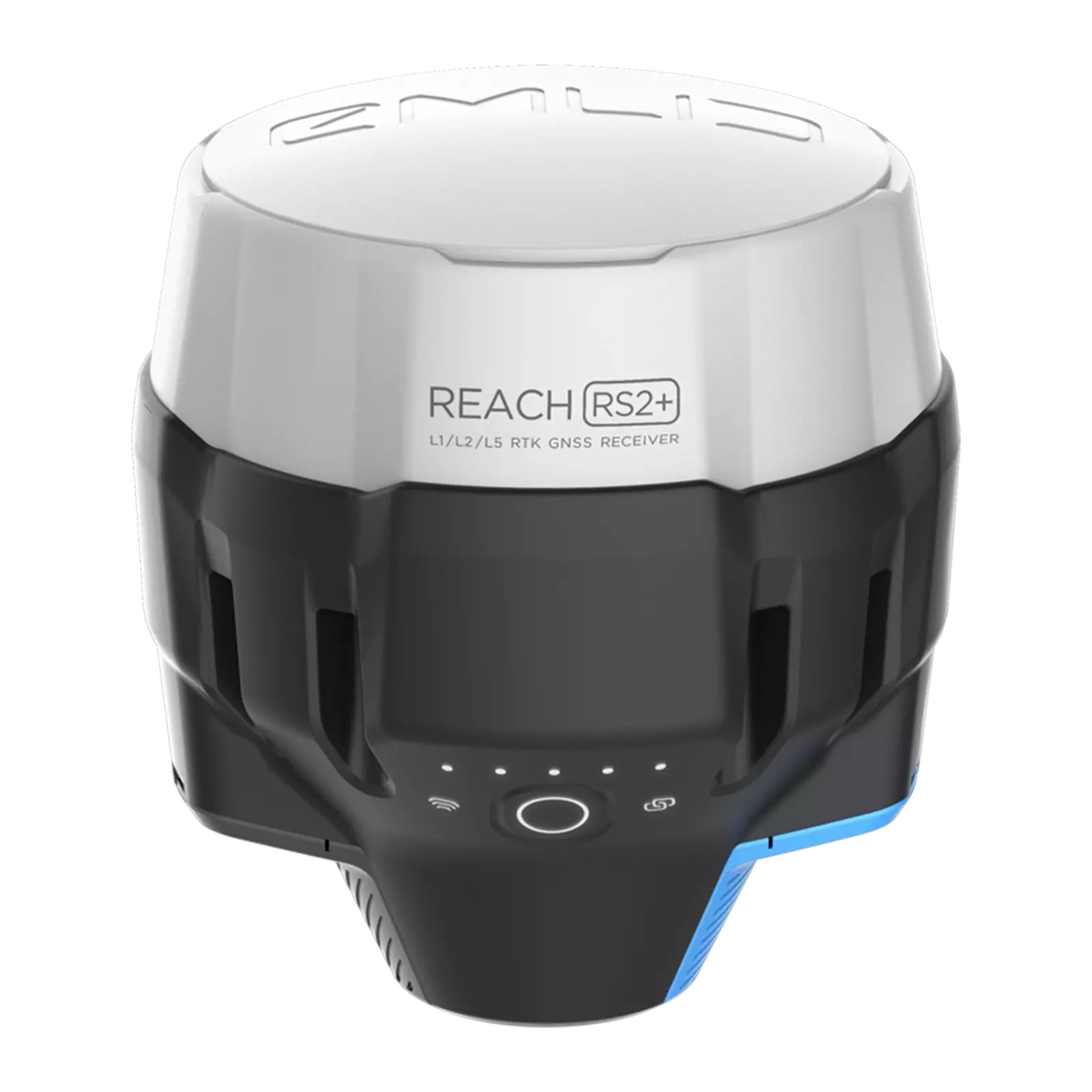
DGPS Reach RS2+
Multi-band RTK/PPK GNSS receiver with centimeter accuracy
The Reach RS2+ is the multi-band RTK GNSS receiver (GPS, GLONASS, BeiDou, Galileo) we use for ground control, topographic survey and drone base-station work. It fixes in seconds, runs up to 22 hours on a charge, and streams corrections over LoRa radio or NTRIP — with a built-in LTE modem for network RTK anywhere with signal. Paired with ReachView 3 on tablet or phone, the RS2+ turns a crew of two into a full survey team: collect points, lines and polygons, stake out design, and export clean coordinates to CAD and GIS the same day.
Core deliverables & outputs
- Centimeter-level RTK and PPK positions on GPS, GLONASS, BeiDou and Galileo
- Base and rover configurations with LoRa radio corrections up to 8 km
- Survey-grade ground control points for drone mapping and PPK workflows
- Static and kinematic observations for post-processed precise positioning
- + 4 more
 03
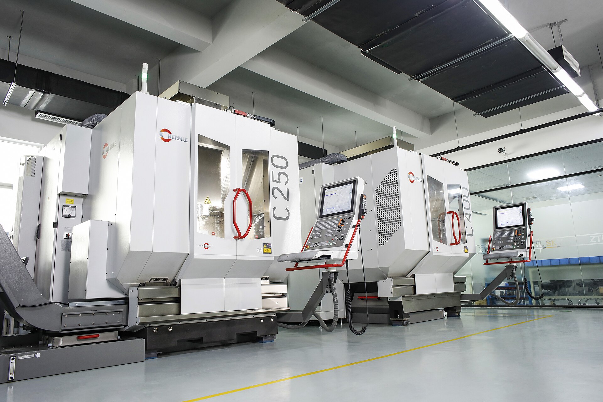
Custom Build 5-Axis CNC Machine
In-house 5-axis machining for precision parts, jigs and airframes
Our custom-built 5-axis CNC machine gives Aerotek full control over the hardware we fly and the fixtures we survey with. A rotating trunnion table and simultaneous 5-axis control machine complex geometries in a single setup — brackets, mounts, drone frames, sensor housings, survey jigs and short-run production parts. Design files go in, inspected metal parts come out: our engineers run toolpath simulation and DFM feedback before cutting, then measure and report every critical dimension before the part reaches the workshop floor.
Core deliverables & outputs
- Simultaneous 5-axis machining of complex geometries in a single setup
- Precision parts for UAV frames, sensor mounts, brackets and survey jigs
- Components in aluminium, steel and engineering-grade plastics
- Tolerance-controlled prototypes and short-run production batches
- + 4 more