DGPS Reach RS2+
Multi-band RTK/PPK GNSS receiver with centimeter accuracy
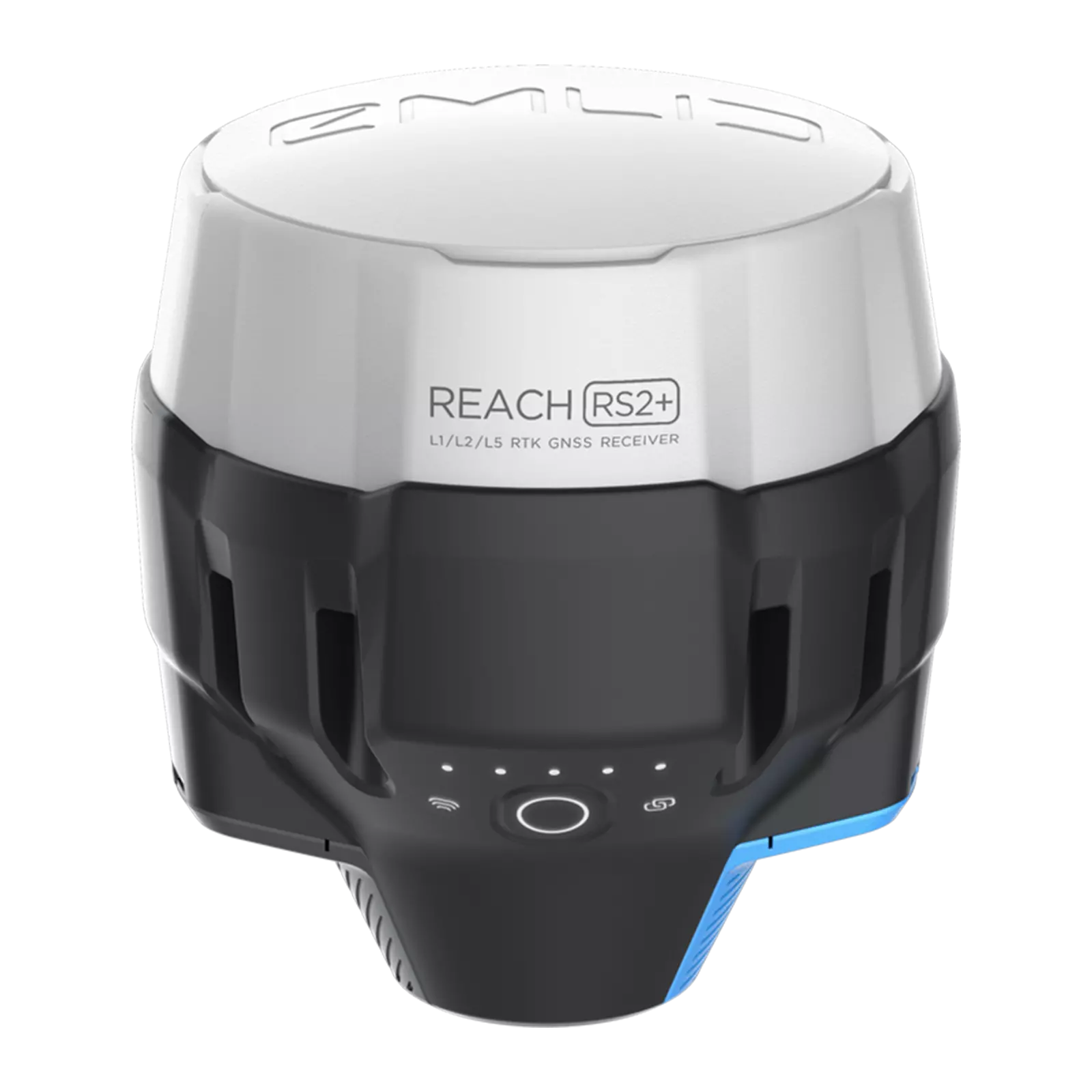
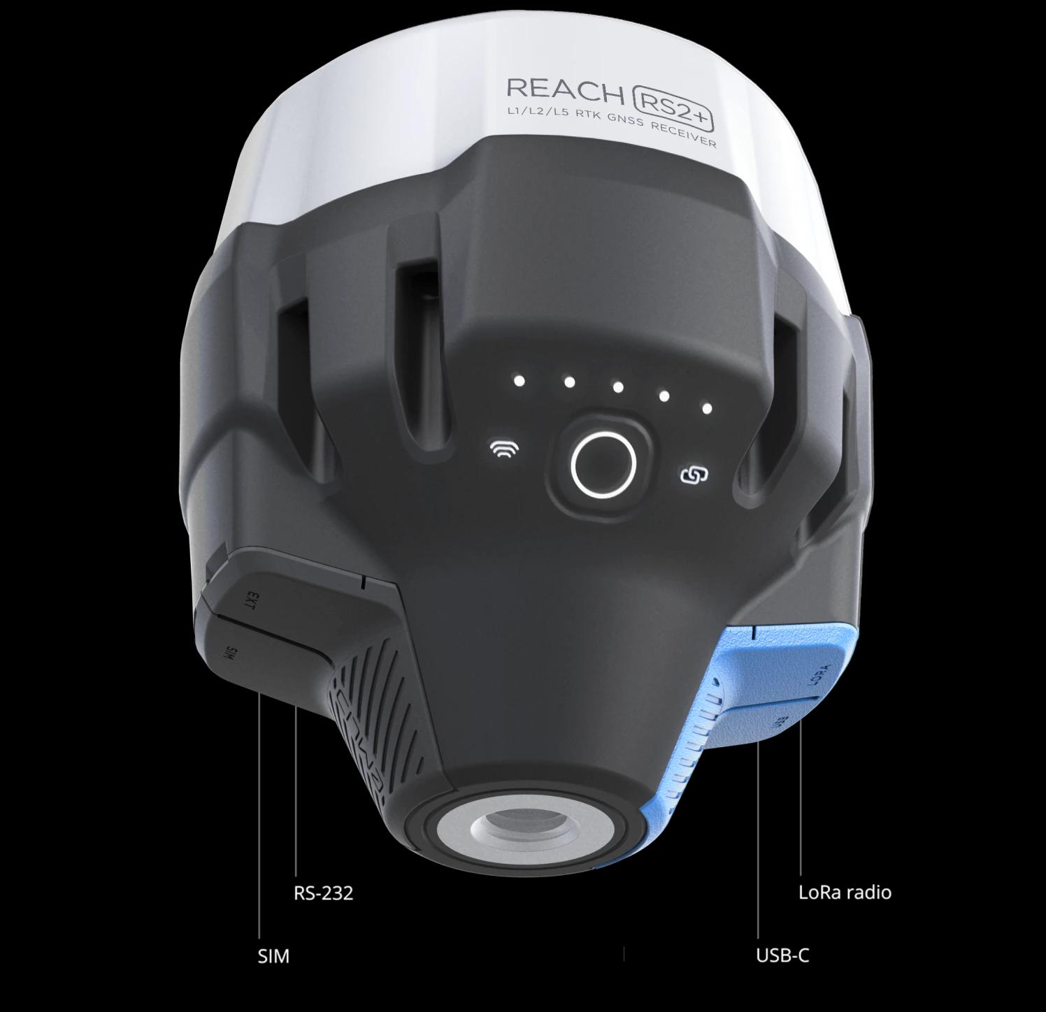
The Reach RS2+ is the multi-band RTK GNSS receiver (GPS, GLONASS, BeiDou, Galileo) we use for ground control, topographic survey and drone base-station work. It fixes in seconds, runs up to 22 hours on a charge, and streams corrections over LoRa radio or NTRIP — with a built-in LTE modem for network RTK anywhere with signal. Paired with ReachView 3 on tablet or phone, the RS2+ turns a crew of two into a full survey team: collect points, lines and polygons, stake out design, and export clean coordinates to CAD and GIS the same day.
Product Gallery
Explore the product
Product Overview
Technology designed for real-world applications.
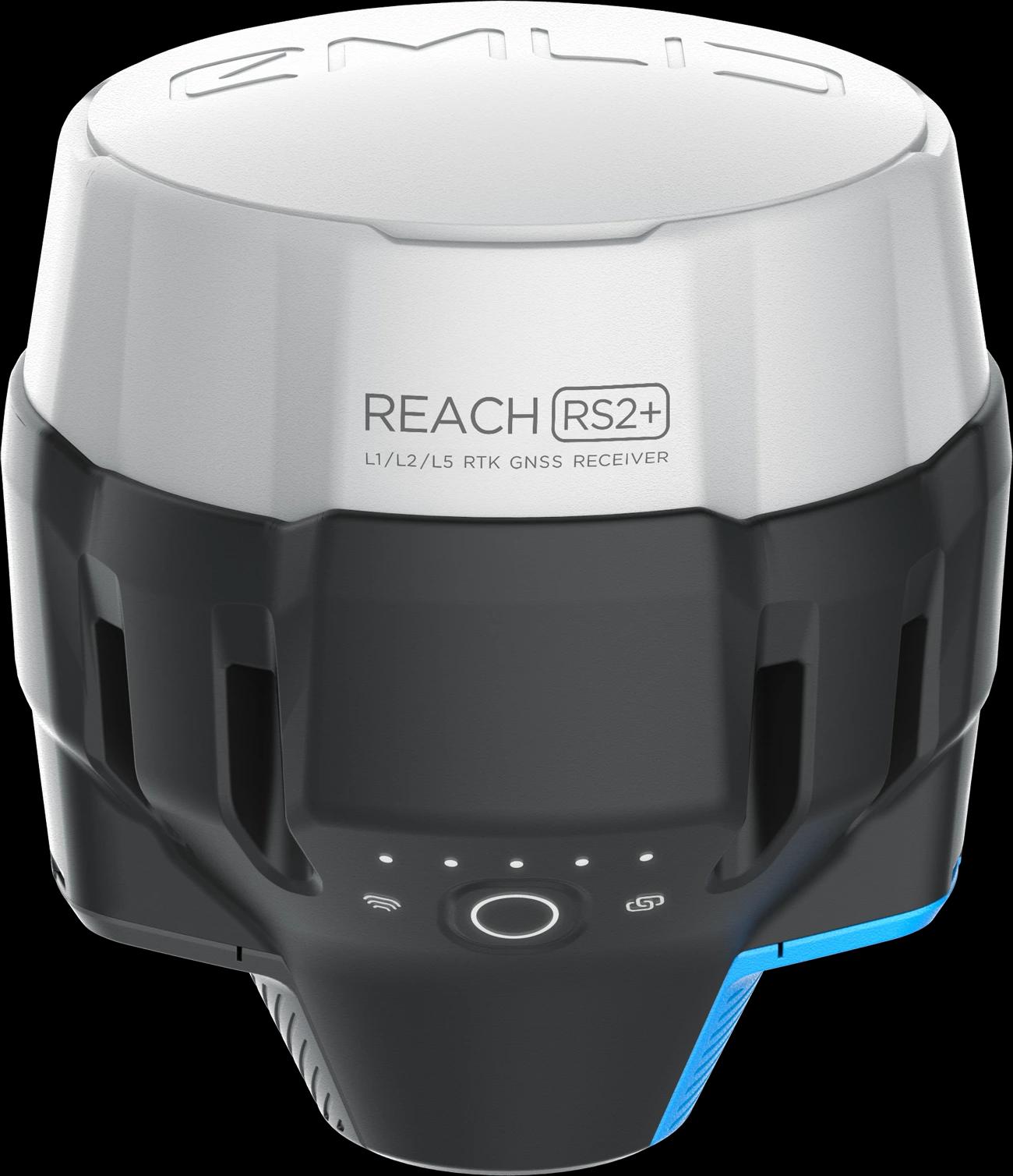
The Reach RS2+ is the multi-band RTK GNSS receiver (GPS, GLONASS, BeiDou, Galileo) we use for ground control, topographic survey and drone base-station work. It fixes in seconds, runs up to 22 hours on a charge, and streams corrections over LoRa radio or NTRIP — with a built-in LTE modem for network RTK anywhere with signal. Paired with ReachView 3 on tablet or phone, the RS2+ turns a crew of two into a full survey team: collect points, lines and polygons, stake out design, and export clean coordinates to CAD and GIS the same day.
Multi-band RTK/PPK GNSS receiver with centimeter accuracy
What's Included
Product Deliverables
Explore the key deliverables and components associated with this product.
Centimeter-level RTK and PPK positions on GPS, GLONASS, BeiDou and Galileo
Base and rover configurations with LoRa radio corrections up to 8 km
Survey-grade ground control points for drone mapping and PPK workflows
Static and kinematic observations for post-processed precise positioning
ReachView 3 field data collection — points, lines, polygons and stakeout
Network RTK corrections through NTRIP and Emlid Corrections service
Coordinate exports in CSV, DXF and Shapefile for CAD and GIS
IP67, 16–22 hour battery runtime built for long days in the field
Have a project in mind?
Let's find the right solution for your needs.
Contact Aerotek Ventures to learn more about this product and discuss your requirements.
Discover More