DJI Matrice 4E
Compact enterprise survey drone with a 4/3 CMOS mechanical-shutter camera
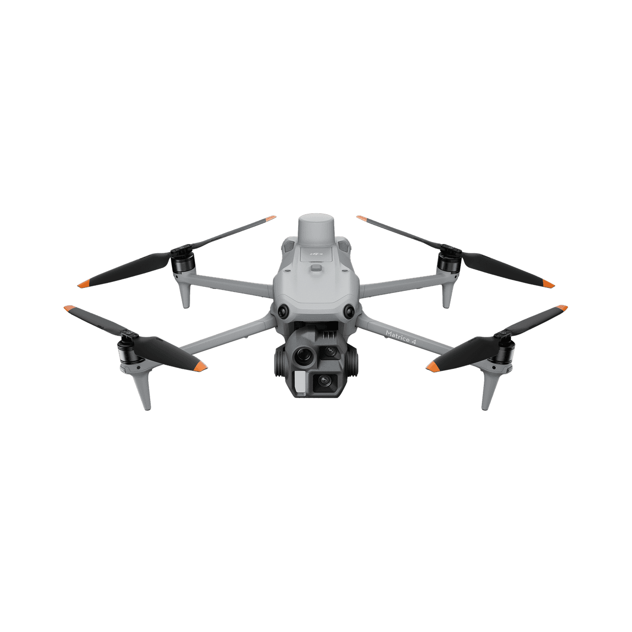
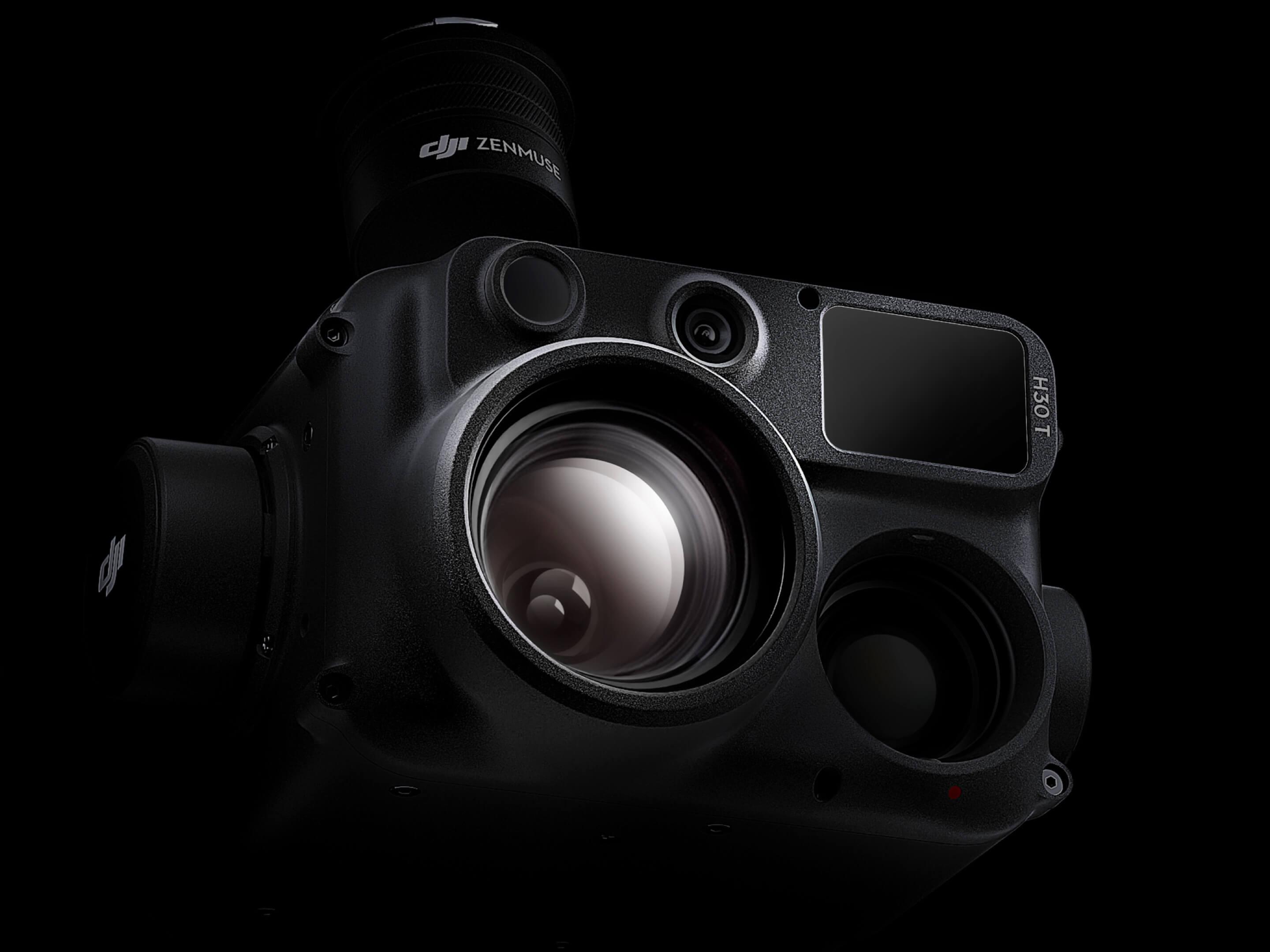
The DJI Matrice 4E is our workhorse survey platform: a compact, intelligent enterprise drone built for geospatial work. Its 4/3 CMOS 20 MP wide camera with mechanical shutter captures sharp, blur-free frames while the 48 MP medium-tele and tele cameras plus laser rangefinder cover inspection and detail work. Smart 3D Capture generates rough models and precise mapping routes on the controller, so crews can plan, fly and verify a site without leaving the field. We fly the Matrice 4E for corridor and area mapping, construction and mining volumes, infrastructure inspection and rapid response missions across Nepal — from Terai plains to high-altitude sites.
Product Gallery
Explore the product
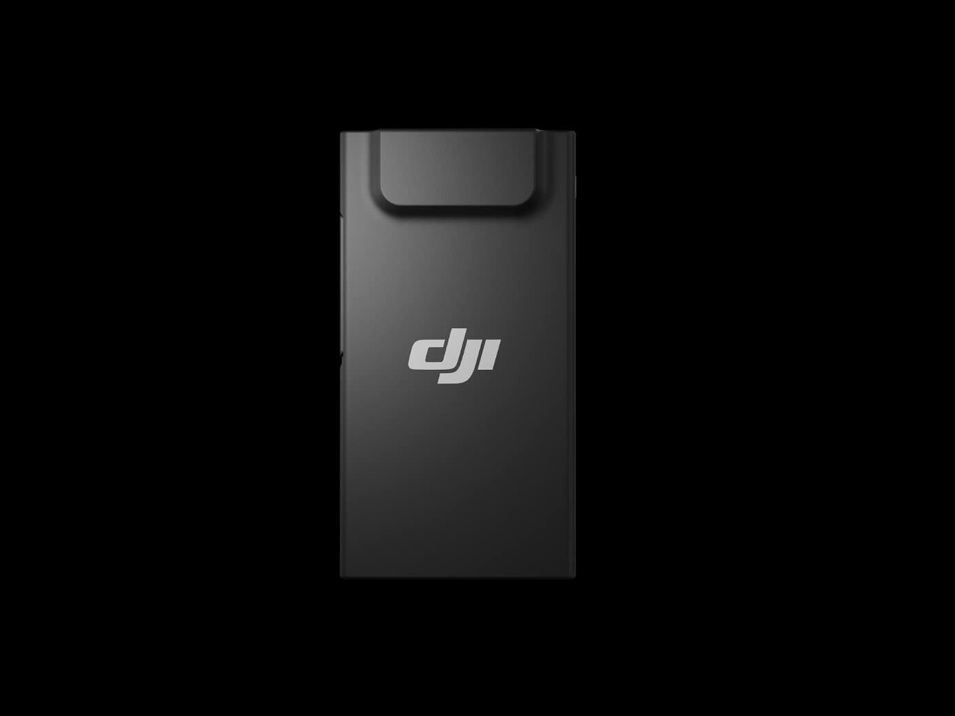
Product Overview
Technology designed for real-world applications.
The DJI Matrice 4E is our workhorse survey platform: a compact, intelligent enterprise drone built for geospatial work. Its 4/3 CMOS 20 MP wide camera with mechanical shutter captures sharp, blur-free frames while the 48 MP medium-tele and tele cameras plus laser rangefinder cover inspection and detail work. Smart 3D Capture generates rough models and precise mapping routes on the controller, so crews can plan, fly and verify a site without leaving the field. We fly the Matrice 4E for corridor and area mapping, construction and mining volumes, infrastructure inspection and rapid response missions across Nepal — from Terai plains to high-altitude sites.
Compact enterprise survey drone with a 4/3 CMOS mechanical-shutter camera
What's Included
Product Deliverables
Explore the key deliverables and components associated with this product.
High-resolution RGB aerial imagery — 20 MP, 4/3 CMOS with mechanical shutter
Georeferenced orthomosaics and orthophotos at 1–2 cm ground sampling distance
Digital surface models and terrain models from photogrammetric processing
3D point clouds and oblique models built with Smart 3D Capture
High-speed area mapping — 0.5 s interval capture at flight speeds up to 21 m/s
Laser-range-finder assisted terrain follow and precise target measurement
RTK/PPK-ready flight logs and exposure metadata for survey-grade accuracy
Inspection photo and video packages from the 48 MP medium-tele and tele cameras
Have a project in mind?
Let's find the right solution for your needs.
Contact Aerotek Ventures to learn more about this product and discuss your requirements.
Discover More